
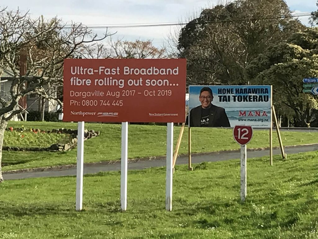
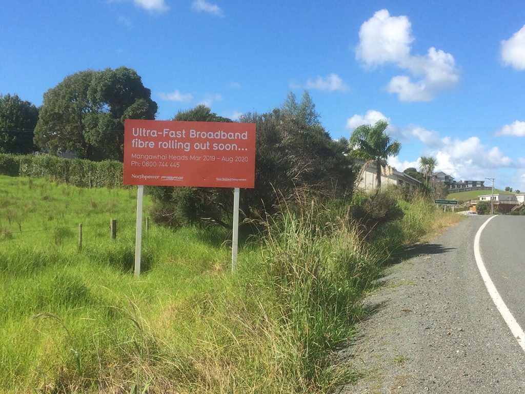
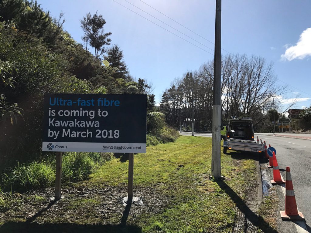
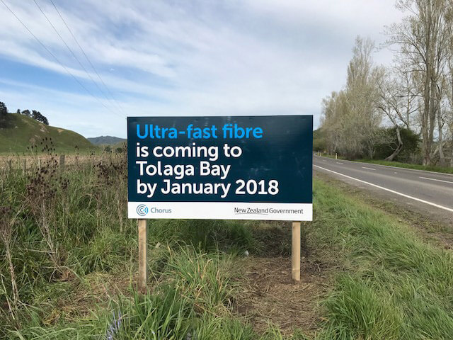
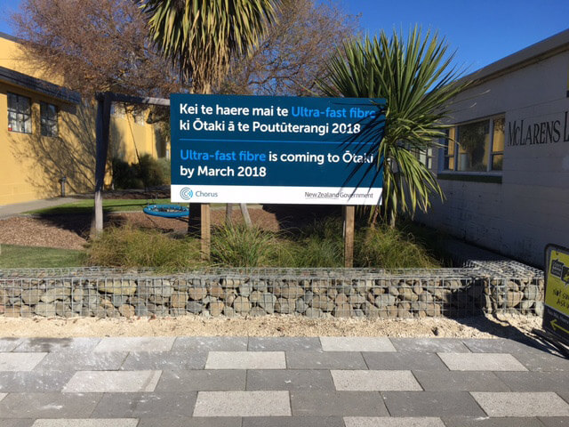
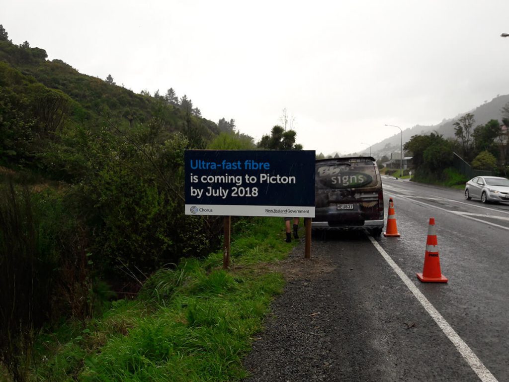
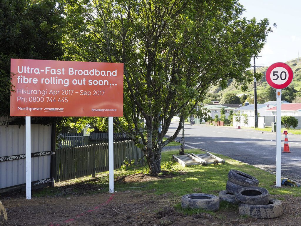
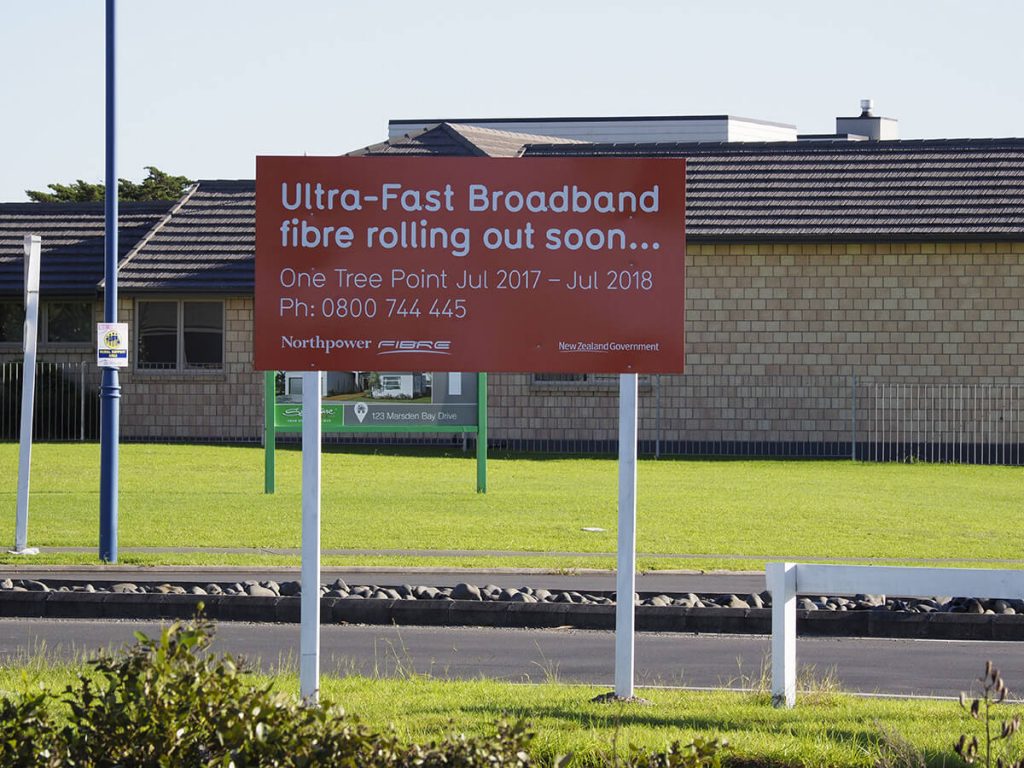
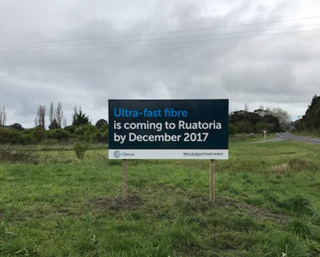
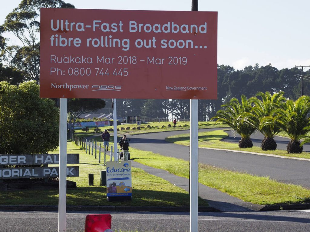
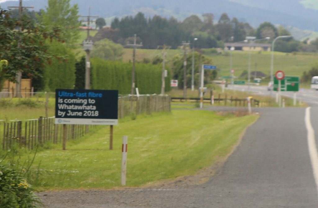
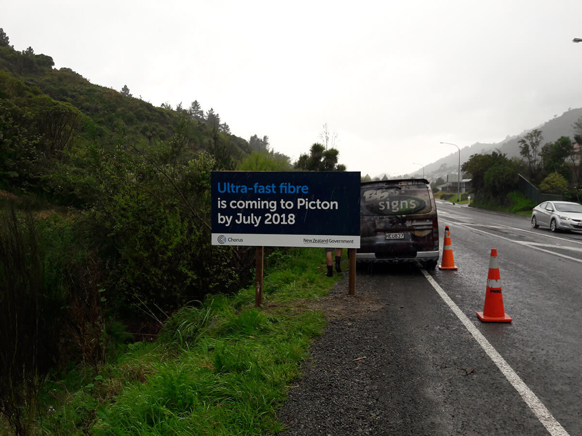
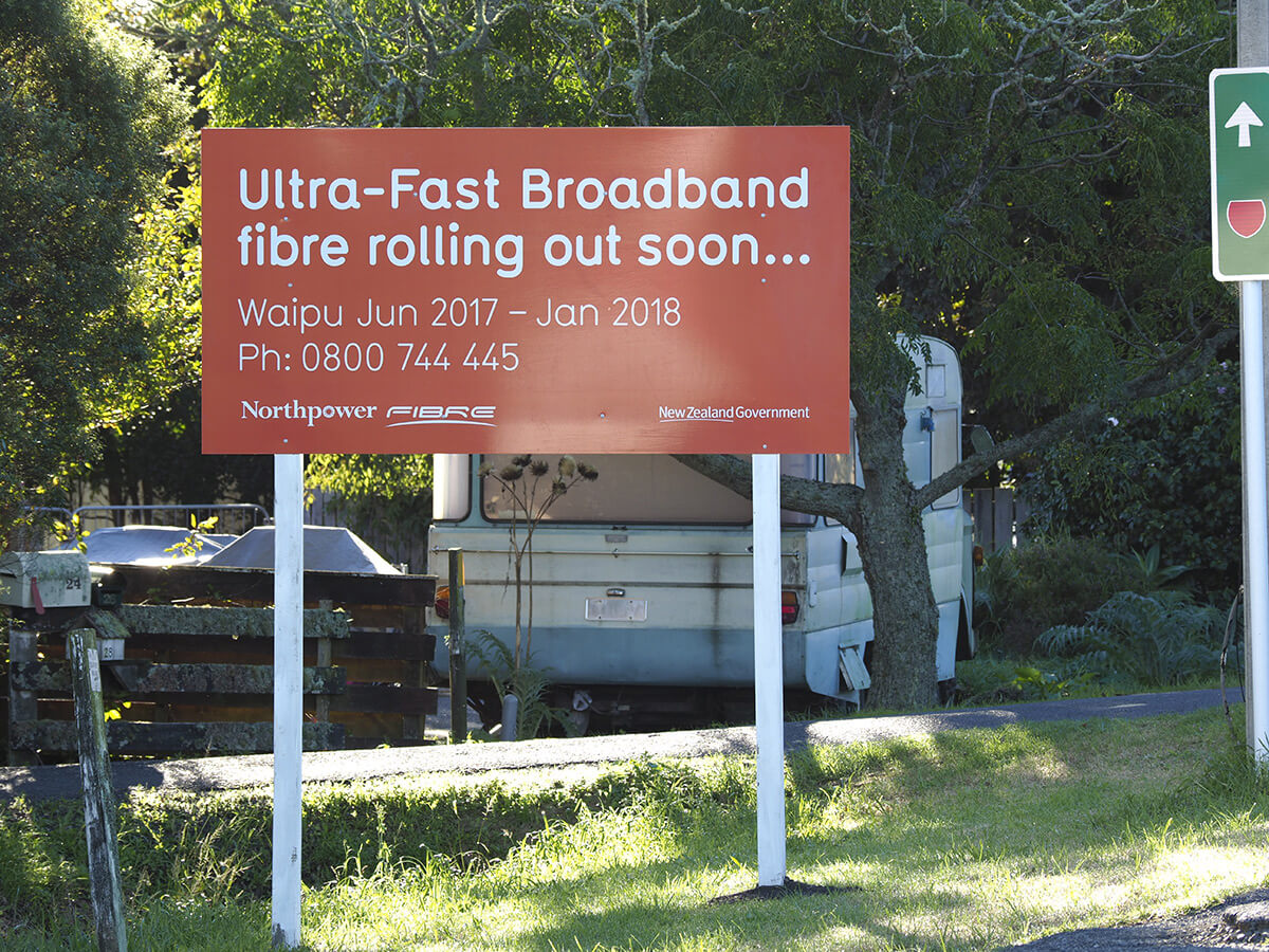
The full deployment schedule and coverage information for the UFB programmeis now available on the National Broadband Map.
An address checker is available on the National Broadband Map where you can type in your address to see if and when you will receive UFB coverage. This will show both planned and actual coverage and give an indication of the timing for planned coverage. The company providing service in your area is listed on the Availability Report when you search your address.
You can access this map by typing in your address below:
Around 190 new towns will receive UFB under the second extension to the UFB programme, and the completion of the rollout will also be brought forward by two years, completing the entire network by the end of 2022.
By the end of 2022, 87 per cent of New Zealanders will have access to fibre-to-the-premises.
Take a look at the following maps to see where coverage in your region:
Tables and Maps
UFB coverage – National
UFB coverage – North Island
UFB coverage – South Island
Regional map – Auckland
Regional map – Bay of Plenty
Regional map – Canterbury (inc. Chathams)
Regional map – Gisborne
Regional map – Hawke’s Bay
Regional map – Manawatu-Wanganui
Regional map – Nelson and Marlborough
Regional map – Northland
Regional map – Otago
Regional map – Southland
Regional map – Taranaki
Regional map – Tasman
Regional map – Waikato
Regional map – Wellington
Regional map – West Coast
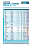
UFB Schedule
To find out when broadband is scheduled to arrive in your town, download the UFB deployment schedule here:


